Computational Laboratory
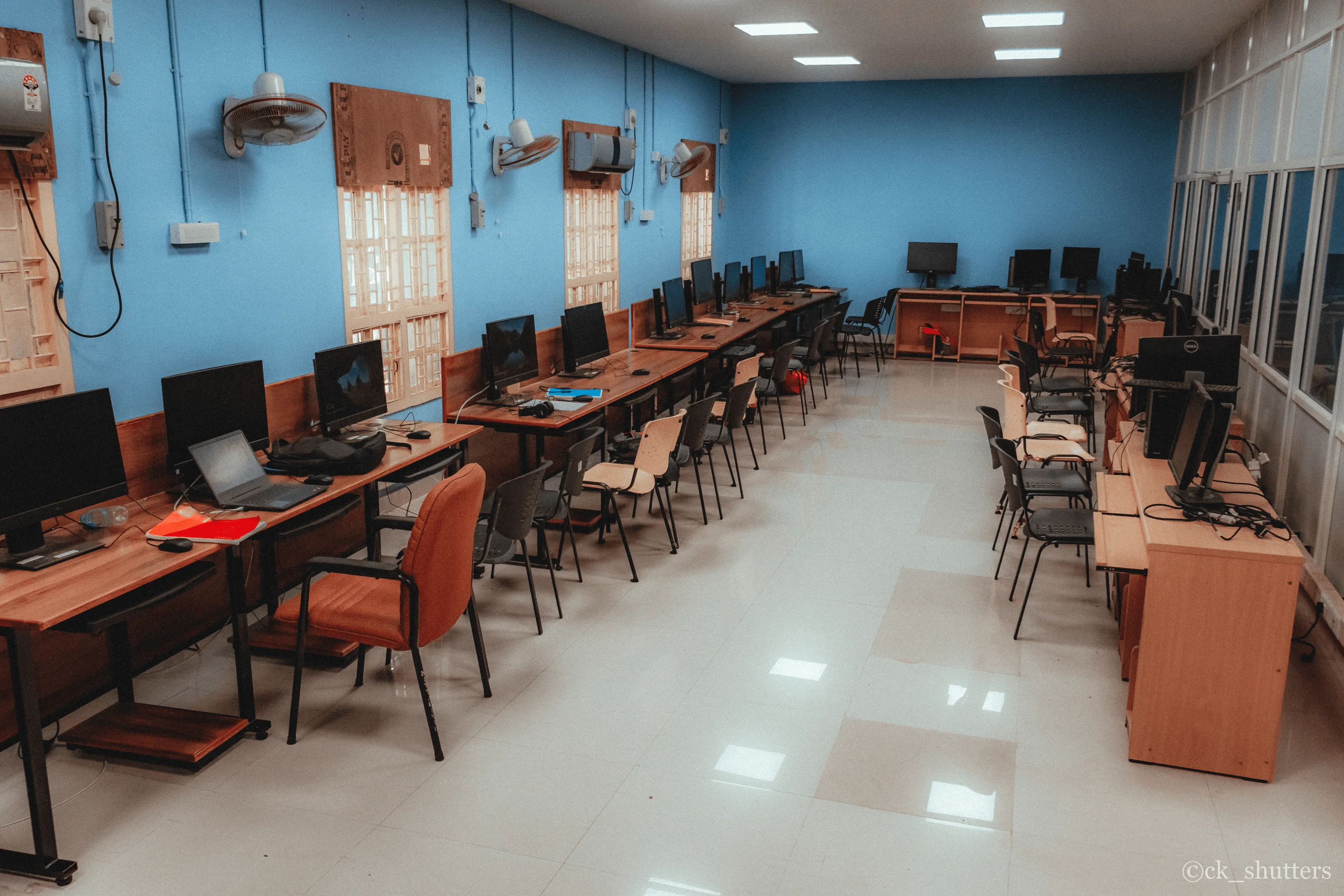
The Department offers state-of-the-art computing facilities to the graduate students, research scholars and faculty members. In addition every faculty member is given one personal computer and most of the laboratories have their own computing facilities to meet their specialized requirements. A high-speed Local Area Network connection through the Institute's central facilities, ensure that all students and faculty have the most modern computing facilities, including round-the clock internet and e-mail connection, to meet their academic and research needs.
The major software packages available are:
|
Name of the Software
|
Purpose of the Software
|
|
CARIS Software
|
Mapping, spatial data analysis
|
|
STRAAP software
|
Structural analysis
|
|
AUTOCAD with AUTOCIVIL
|
Drafting
|
|
STAAD / Pro
|
Design
|
|
ARC GIS – University Lab kit 8.3 software
|
Mapping
|
|
REI HEADS Ver 2002
|
Highway Engineering design system
|
|
Geo Concept
|
Data interchange between maps
|
|
ENVI Ver 4.2
|
Image analysis
|
|
Build super fast
|
Estimation
|
|
Visual Modflow
|
Ground water flow modeling
|
|
Map info Professional Version 8
|
Mapping
|
|
GT STRUDL
|
Structural analysis and design
|
|
Bentley MX Road Max 2004
|
Road design
|
|
PLAXIS Professional V 8.2 + Dynamic Module + 3D Foundation V1.5
|
Analysis of Geotechnical problems
|
|
ANSYS
|
Stress analysis
|
|
STAAD Pro-2006
|
Structural analysis and design
|
Apart from above software , the department has developed many packages for specific engineering applications Principal among them are:
- RAPID:Rural Action Plan Integrated Database. A GIS based monitoring system developed in VB. TIMS:Travelers Information Management System OPERA : Online Processing of Electoral Results and Analysis MIGRAN:Model with Interactive Graphics for Route Analysis on Network . SPY:Simulation of Paddy Yield. DAM:Dam Safety Against Earthquake Load. WASP:Waste Data Acquisition and Analysis System for Online Processing
- AIMIL GEOTECHNICAL ANALYSIS SOFTWARE (AIMIL GAS) AIMIL Geotechnical Analysis Software (AIMIL GAS) is a suite of analysis software for common geotechnical tests . It uses the data acquired by the AIMIL Data Acquisition System (AIMIL DAS ) and generate a number of analysis graphs and data . Even though it can use the data acquired by AIMILDAS directly , it is not a constraint . It can use data in the proper format from any source . It accepts additional test data from the user and performs the analysis . The analysis data can be viewed on screen or printed on any PC compatible printer .
- AIMILDAS is an auto calibrating 16 channel , 16-bit Data Acquisition System which gathers data from energized transducers and saves the data. The AIMILDAS is designed to provide a bridge between existing test apparatus and the latest PC based technology using State of the art Graphical user interface on Windows. The Data Acquired by the energized transducer is converted into working units and presented in either a tabulated form or in a format which can be read directly by AIMILGAS. The acquired data can be post processed to produce various graphs of interest .
Lab in charge
Dr. R. Manjula
Associate Professor
Department of Civil Engineering
National Institute of Technology
Tiruchirappalli – 620 015.
Phone No : +91 431-2503167
E-mail : manju@nitt.edu